India Street History
(Portland’s First Neighborhood)
History of the India Street Neighborhood
All information in this section comes from the City of Portland website. https://www.portlandmaine.gov/india-street-historic-district
The history of the India Street neighborhood is as old as the history of Portland itself, as it was the site of the first European settlement on the Portland peninsula. Nothing, however, exists from this first settlement or from other early attempts at settlement. The first settlement was destroyed during conflicts with Native Americans in the 17th century, rebuilt and then destroyed again in the late 18th century by the British. Even the waterfront no longer resembles its early configuration, having been filled in during the mid-nineteenth century to accommodate maritime and railroad development.
Notwithstanding the loss of structures and sites associated with the neighborhood’s earliest periods of development (with the exception of Eastern Cemetery), the remaining building stock provides a compelling story of the neighborhood during the nineteenth and twentieth centuries—illustrating not only the wide range of activities that were supported in this area but also the unique resident mix that populated the neighborhood and gave it its rich, ethnically diverse character.
General Description of the District
The India Street neighborhood as we know it today encompasses a 19-block area, extending west to east from Franklin Arterial to Washington Avenue/Mountfort Street and north to south from Congress Street to Commercial Street. Within this larger neighborhood boundary, the proposed India Street Historic District encompasses portions of 10 blocks and is focused on the major corridors (Congress, India and Middle) that define the historic core of the neighborhood and around which many of the neighborhood’s most significant institutional, commercial, religious and residential structures are concentrated.
Within or just outside the district boundaries are located five previously-designated landmark structures or sites. These include the Cathedral of the Immaculate Conception, St. Paul’s Church and Parish Hall, North School, the Abyssinian Meeting House and Eastern Cemetery. Four additional landmarks are proposed for designation in conjunction with the district designation. These include the former Etz Chaim Synagogue (now Maine Jewish Heritage Museum), the former India Street Fire Station, St. Peter’s Catholic Church, the former Shaarey Tphiloh Synagogue, and the Abraham S. Levey Commercial Block. These structures are recommended for landmark status based on their significance in the development of the neighborhood, their architectural significance and/or their position at a key gateway into the neighborhood.
In addition to these individual landmarks, the district includes approximately 36 contributing historic structures and 13 noncontributing structures, as well as several surface parking lots or undeveloped parcels. Within the district are exhibited a wide variety of building types— institutional, religious, commercial, and residential—reflecting the area’s history as a largely self-contained neighborhood settled early on by African Americans and later by successive waves of immigrant groups (including Irish, Italian, Eastern European and Scandinavian) who established their own places of worship, commercial enterprises and services to support the needs of their community.
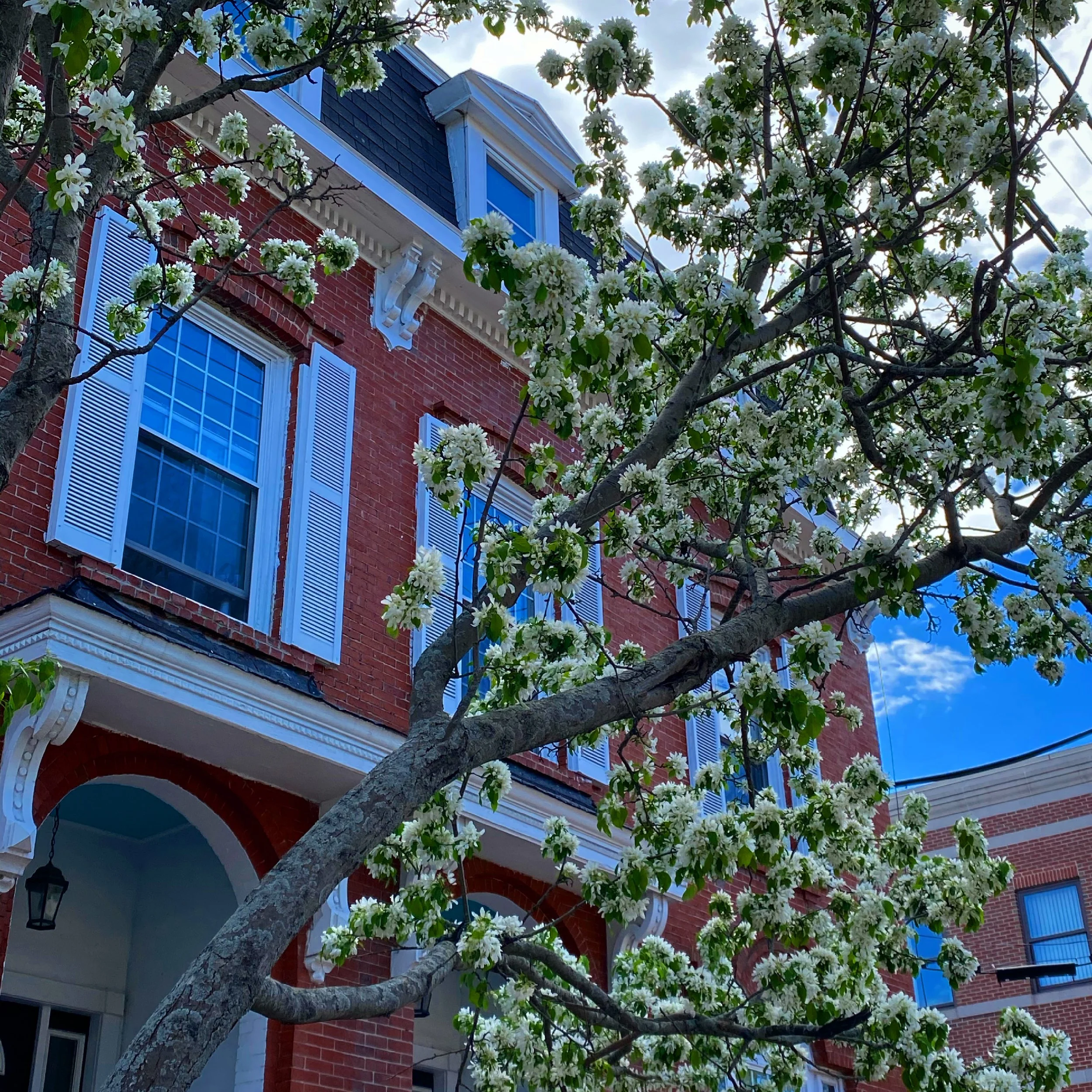
Although the district includes a few scattered buildings that predate the Great Fire of 1866, most of the existing historic resources were built between 1866 and 1920. Existing historic structures are mostly brick, with the exception of a few wood frame structures. Predominant building styles include Italianate and Second Empire. Also represented in the district are several early 20th century commercial blocks and multi-family triple deckers which are typical of their construction era.
View this and much more info about the India Street Neighborhood at https://www.portlandmaine.gov/india-street-historic-district